Methane plume detection from EMIT
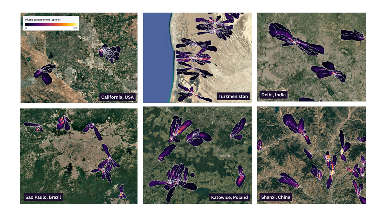
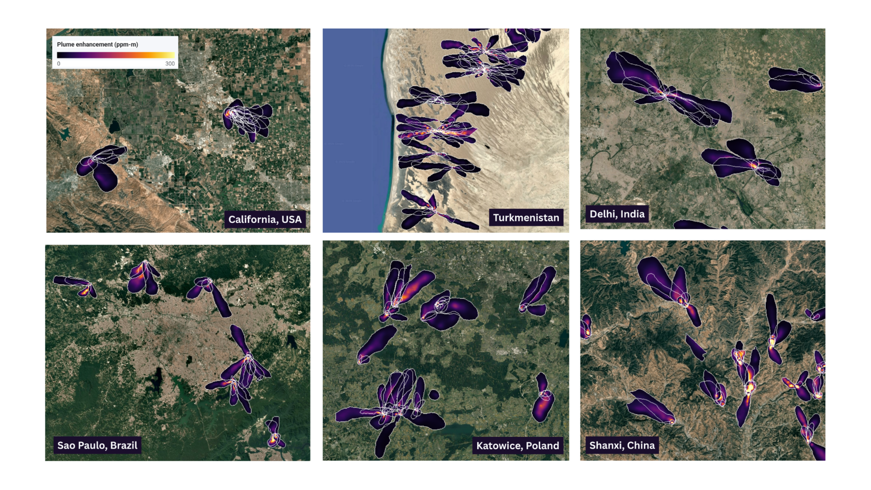
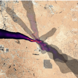
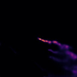
A six-panel satellite graphic showing detected methane plumes and emission heatmaps in California (USA), Turkmenistan, Delhi (India), Sao Paulo (Brazil), Katowice (Poland) and Shanxi (China).
Methane is a potent greenhouse gas responsible for approximately 25% of human-induced global warming. Over a 100-year timeframe, its warming potential is 30 times greater than that of carbon dioxide. Because methane has a relatively short atmospheric lifespan, rapidly mitigating facility-scale emissions offers the fastest pathway to curbing global temperature rise and meeting the Global Methane Pledge target of a 30% reduction by 2030.
In collaboration with NASA’s Jet Propulsion Laboratory (JPL), Google Research developed MAPL-EMIT (Methane Analysis and Plume Localization with EMIT) to take on a critical detection bottleneck. By applying vision transformers to hyperspectral radiance data from NASA’s Earth Surface Mineral Dust Source Investigation (EMIT) instrument on the International Space Station, MAPL-EMIT transforms raw satellite observations into actionable environmental intelligence. Trained on 3.6 million physics-simulated plumes, the model cuts through complex surface reflectance to achieve an 84% recall on human expert-annotated plumes, spots >50% more plumes on those benchmark scenes, and uncovers over 23,000 additional plumes globally (including 24 of the world’s 25 top-emitting landfills) accelerating targeted climate mitigation worldwide.

How Google Research and NASA JPL trained a deep learning model on 3.6 million simulated plumes to spot 25,000+ real-world methane leaks from the International Space Station.
Results, models and datasets


Frequently asked questions
Traditional matched filters analyze satellite spectra on an isolated, pixel-by-pixel basis, frequently producing false positives when surface features (such as roads, bright roofs, dry vegetation, or mineral soils) mimic methane absorption. MAPL-EMIT overcomes this by coupling full spectral channel information with a hierarchical vision transformer (Swin-S) that evaluates spatial dispersion and morphology alongside spectral signatures. This unified spatial-spectral awareness dramatically suppresses background surface artifacts and gives MAPL-EMIT a much higher signal to noise ratio (SNR), yielding an 84% recall against expert human annotations and uncovering >50% more valid plumes on annotated scenes.
Gathering millions of verified real-world satellite plume annotations across the planet is infeasible. To solve this data bottleneck, we engineered a physics-based synthetic simulation engine using Gaussian puff dispersion modeling. We simulated 3.6 million physically realistic methane plumes across varying emission rates, boundary-layer turbulence, and atmospheric wind fields, and realistically injected them into genuine EMIT background scenes. This allowed the neural network to generalize across diverse global biomes, complex topography, and high-noise environments without overfitting.
MAPL-EMIT operates at a 60-meter spatial resolution across an 80 km swath, making it specifically suited for pinpointing high-emission point sources down to individual facilities. It reliably detects super-emitters across fossil fuel infrastructure (oil and gas well pads, compressor stations, pipelines, and unlit flares), municipal solid waste landfills (identifying 24 of the 25 top-emitting landfills globally), coal mining ventilation shafts, and large agricultural operations—providing actionable coordinates for facility operators and regulators to remediate leaks. However, low-intensity diffuse emissions are harder to detect accurately with MAPL-EMIT.
Traditional matched-filter methods struggle with surface reflectance artifacts from built infrastructure, bare rock, and dry vegetation that exhibit spectral features similar to methane. MAPL-EMIT resolves this through a multi-stage validation approach: first, the Swin-S vision transformer jointly models both spectral absorption profiles and characteristic physical wind-blown plume dispersal shapes. Second, inference time augmentations + voting and physics-based spectral fitting algorithms help independently confirm detections. Post this stage, we have around 50-60% false positives in the dataset. Third, temporal recurrence of plumes across the same source helps produce high confidence plumes which are marked in the dataset and have only ~3-5% false positives when validated by multiple humans across a random sample of plumes.