Wildfire boundary tracking
Using AI to map the boundaries of large wildfires and provide wildfire information to affected communities and fire authorities

Wildfire boundary tracking
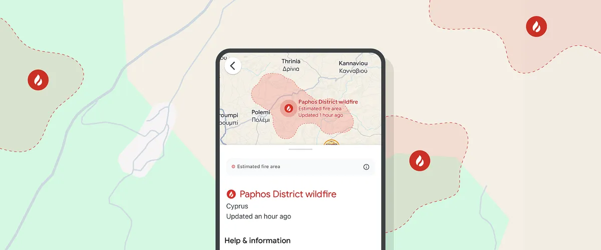
During wildfires, people often turn to Google to find helpful information that can keep them and their communities safe. Our team at Google Research uses AI to detect wildfires, identifying their boundaries and making this information available through Google Search and Google Maps, including during driving navigation — to complement existing on-the-ground efforts and help people access information during a crisis. Additionally, the boundary tracking system sends push notifications with the wildfire information to nearby users and communities.
This wildfire boundary tracking system is available in over 37 countries, across five continents.
In February 2024, a series of devastating wildfires broke out across Chile, resulting in massive damage and significant loss of life. This chain of events shows how our wildfire boundary tracker provides helpful information during a crisis.
How it works
- We gather hyperspectral satellite imagery from geostationary satellites, low earth orbit satellites, and other data sources. Satellites include GOES-18 and GOES-19 for North and South America; Himawari-9 and GK2A for Australia; and Suomi NPP and NOAA-20 satellites with VIIRS imagery in other locations.
- We take the most recent images from multiple satellites and feed them into a neural network, which analyzes the visual imagery to provide fire boundary information at a 1 square kilometer resolution, updated every 10-15 minutes.
- This information is then loaded into Google Maps and Google Search.
Read the Research Blog post to learn more.
Discover more

Blog
Wildfire boundary maps expand to new countries in Europe and Africa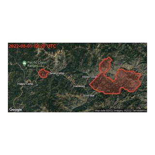
Blog
Real-time tracking of wildfire boundaries using satellite imagery
Video
How AI is helping to fight wildfires
Video
Simulating wildfires before they happen
Blog
How we're using AI to help address the climate crisis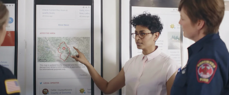
Blog
Mapping wildfires with the power of satellite data