Wildfires
Using AI to provide accurate wildfires information to affected communities and fire authorities
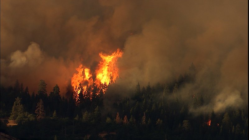
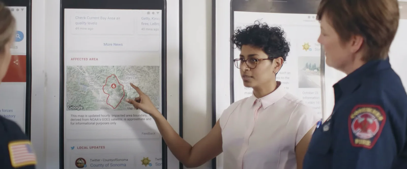
Wildfires around the world are becoming more frequent and more dangerous, especially with the rise of global temperatures. Their effects are felt by many communities as people evacuate their homes or suffer harm even from proximity to the fire and smoke.
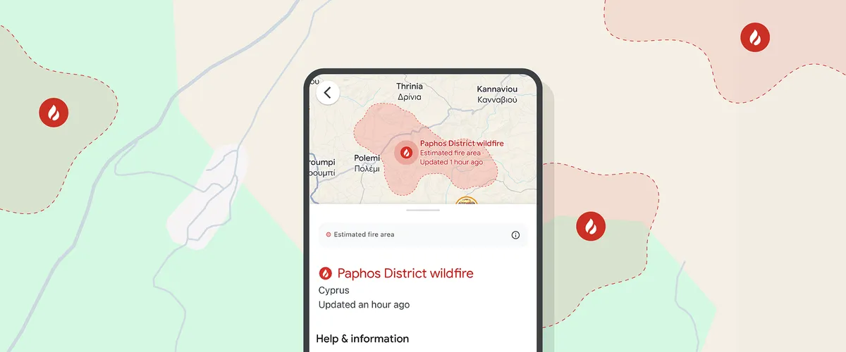
Google Research is applying AI and machine learning (ML) to better understand the Earth's physical processes and enhance our ability to react to natural disasters like wildfires. To this end, our research teams are advancing projects for wildfire boundary tracking and using satellite imagery and ML to detect and monitor wildfires. These projects enable us to share information via Google Search and Google Maps, informing affected communities and helping fire authorities take action. Learn more about our wildfire boundary tracking and FireSat work.
These Wildfire models are part of our Google Earth AI collection of geospatial models and datasets. This is all part of Google's broader effort to use AI to support crisis resilience and help people access trusted information in critical moments.
Learn more about our research

blog
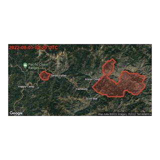
Inside the launch of FireSat, a system to find wildfires earlierThe first satellite of a groundbreaking constellation for early wildfire detection and mitigation has hit the skies. Here’s how the project came to be.

blog
How a new constellation of satellites can detect smaller wildfires earlierFireSat is a global satellite constellation used to detect and monitor wildfires

blog
Google Research and the fire community create FireSat, a new constellation of satellites built to detect and track wildfires.A breakthrough in wildfire detection: How a new constellation of satellites can detect smaller wildfires earlier

blog
Check out the first images of wildfires detected by FireSatFirst images from FireSat: an AI-powered satellite system detecting early fires

blog
Wildfire boundary maps expand to new countries in Europe and AfricaLearn how we’re expanding wildfire boundary maps to deliver critical safety information to new regions
blog
Real-time tracking of wildfire boundaries using satellite imageryRead how we use satellite imagery and machine learning to track wildfire boundaries
blog
Mapping wildfires with the power of satellite dataUsing satellite data to map wildfire boundaries directly on Search and Maps