Introducing Geospatial Reasoning
Unlocking insights with generative AI and multiple foundation models
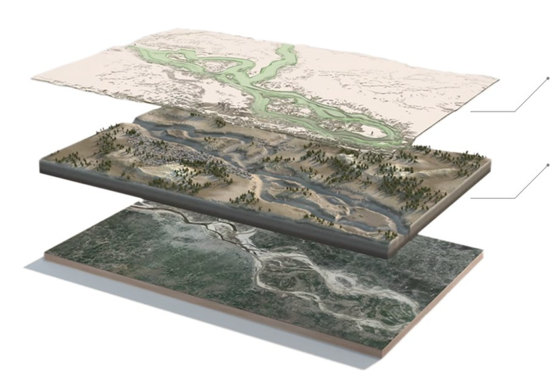
Grounded by the best geospatial models
Google has a long history of organizing the world's geospatial information—data tied to specific locations—and making it accessible through products like Maps, Street View, Earth, and Search.
Geospatial Reasoning leverages this long-standing expertise in satellite imagery, mapping, and geospatial foundation models, to help solve a wide range of problems.
Using AI to make flood forecasting information universally accessible.
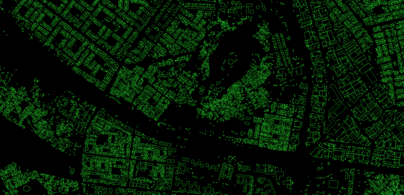
Large-scale open dataset containing the outlines of buildings derived from high-resolution satellite imagery.
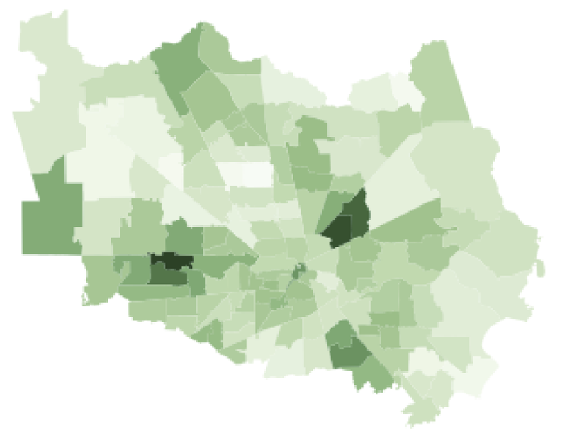
A unique ‘location signature’ for every community.

Multimodal foundation models to accelerate and democratize remote sensing derived insights.

Geospatial foundation model based on human mobility trajectories in the built environment.
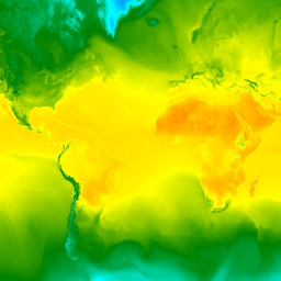
State-of-the-art AI-based weather forecasting technology.

Using AI to provide accurate wildfires information to affected communities and fire authorities.
Yours and ours: A unique mix of data
Whether you’re working in public health, urban development, integrated business planning, or climate resilience, Google’s data, real-time services, and AI models can accelerate your analyses and augment your proprietary models and data. Geospatial Reasoning uses generative AI to reduce the significant cost, time, and domain expertise required to combine geospatial capabilities.
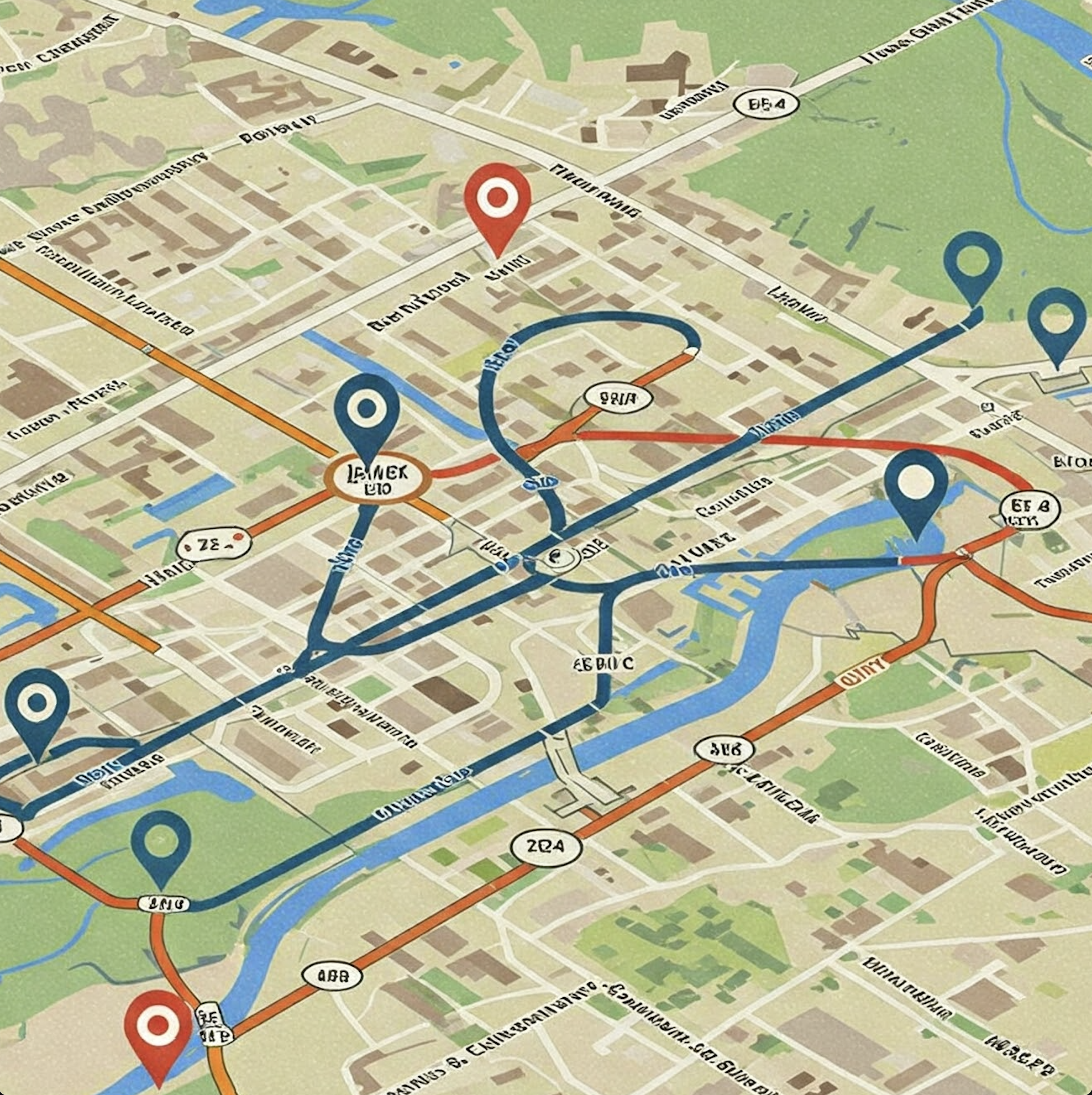
Reasoning accelerates insight
Given a complex natural language query, Gemini will plan and enact a chain of reasoning, analyzing multiple geospatial and structured data sources, and using advanced AI models for task-specific inference and grounding. Responding with insights and data visualizations, Geospatial Reasoning will provide rapid, trustworthy answers.
Let’s think bigger, together
Geospatial Reasoning, grounded with our new geospatial foundation models, will be able to simplify and accelerate real-world problem solving. Provide your information to receive updates on our progress, including announcements about new features, research breakthroughs, and opportunities to join our trusted tester programs.
Publications and blogs